01 · COREDOCUMENT-BACKED
8.38 ha core parcel
- Legal position
- Private ownership · cadastral parcel 03-044-081-361
- Baseline discussion
- Acquisition, JV or build-to-suit, subject to buyer eligibility and project-specific legal review
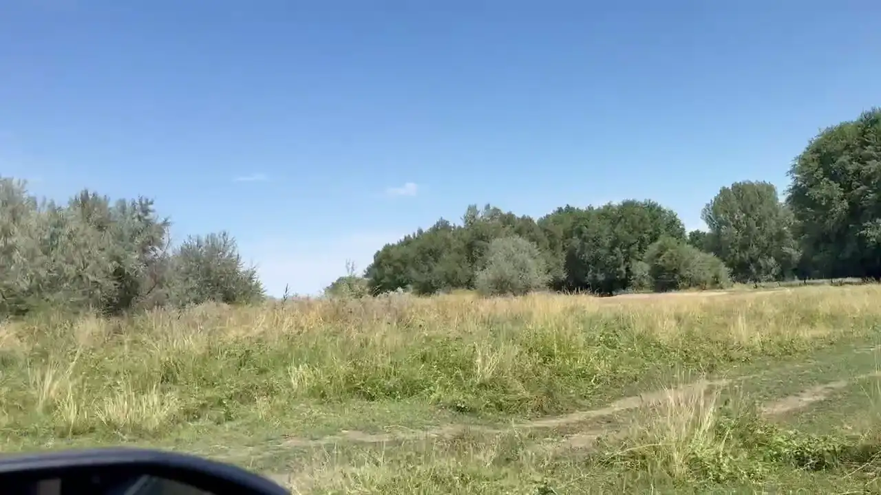
For agro-processing, warehousing and selected production projects. A potential 22 ha expansion is considered separately after legal review.
The 8.38 ha privately owned parcel is the baseline investment case. The 22 ha position is not bundled into that claim.
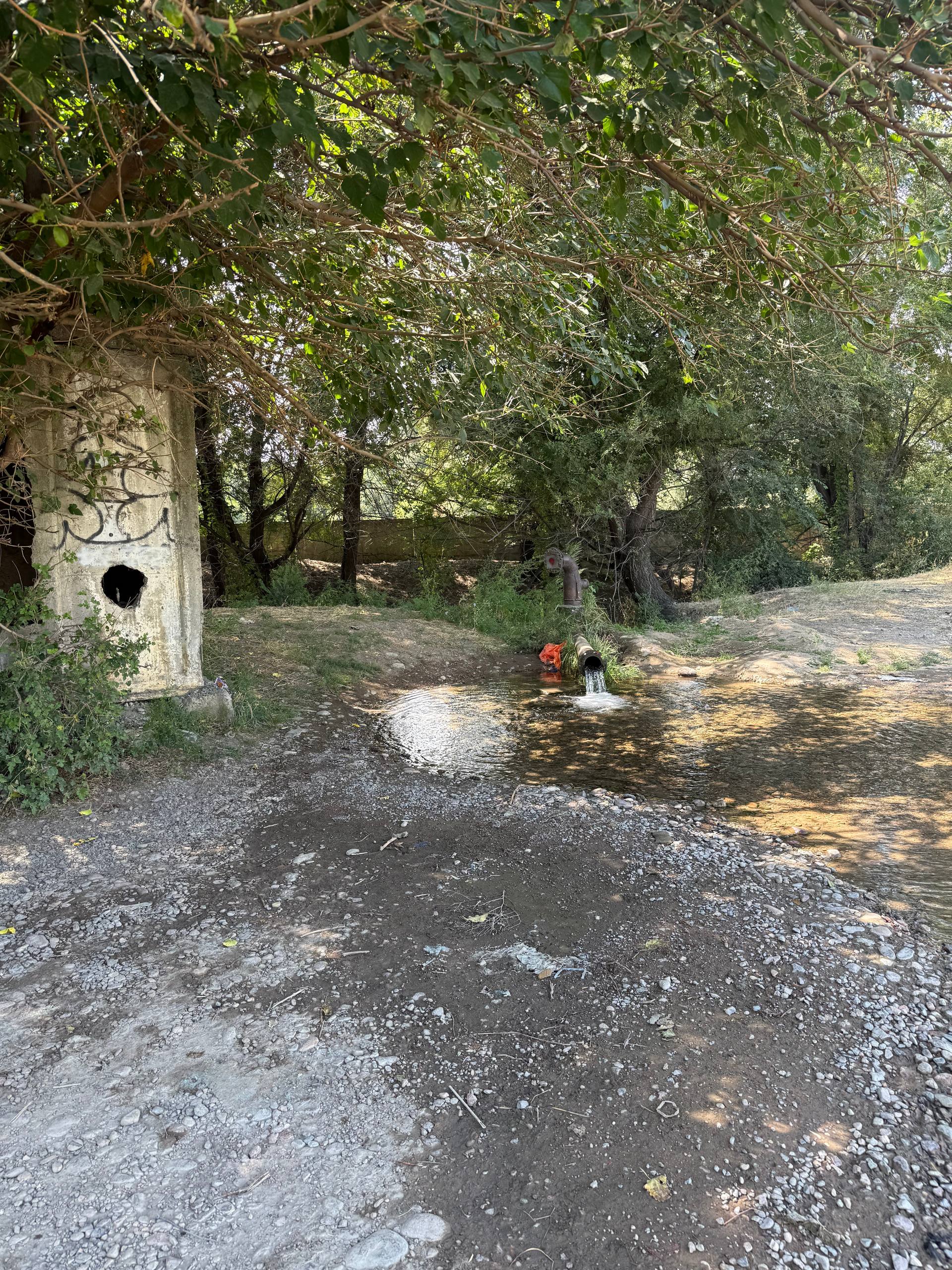
Privately owned artesian water infrastructure is approximately 300 m from the core site.
Document-backed, observed and review-stage parameters are separated throughout the site.
Offer structure
The two land positions have different legal bases and are deliberately presented as separate investor decisions.
Location
The owner has supplied an exact site reference point. The cadastral boundary and the reported ≈10 m road approach remain subject to documentary and access-survey verification.
Asset passport
Confirmed facts are separated from parameters that still require technical or documentary update.
Investment focus
The ranking reflects the agricultural setting, nearby water infrastructure and access to the Almaty market. Exact project fit still depends on utilities, land use and permits.
Processing, packing, feed, fruit-and-vegetable and adjacent food-production formats.
Warehouse, sorting, consolidation and temperature-controlled storage serving regional agricultural flows.
Selective light manufacturing or tenant-led BTS where utility and permitting requirements match the site.
Project-use reviews
Each review separates current facts from the legal, utility and access questions that must be closed for that use. The land is not represented as universally permitted for every project.
Screen the parcel for selected light-industrial and build-to-suit projects.
Open project review → 02Review storage, cold-chain, truck-access and power questions.
Open project review → 03Check whether the site can progress to a production feasibility study.
Open project review → 04Assess food, feed, packing and agricultural processing scenarios.
Open project review →Interactive project fit
Choose the intended use and discussion format. The site will surface the questions to close before an investment decision.
On-site evidence
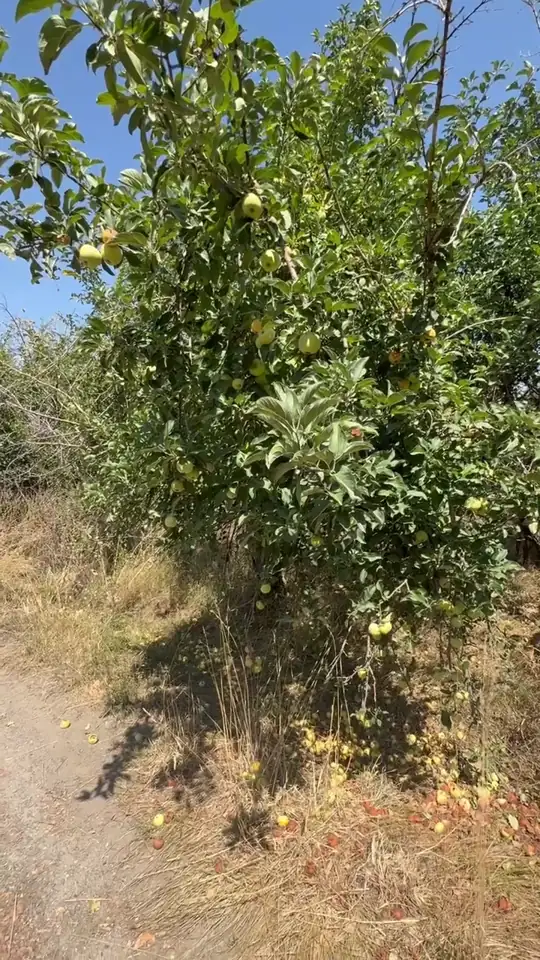
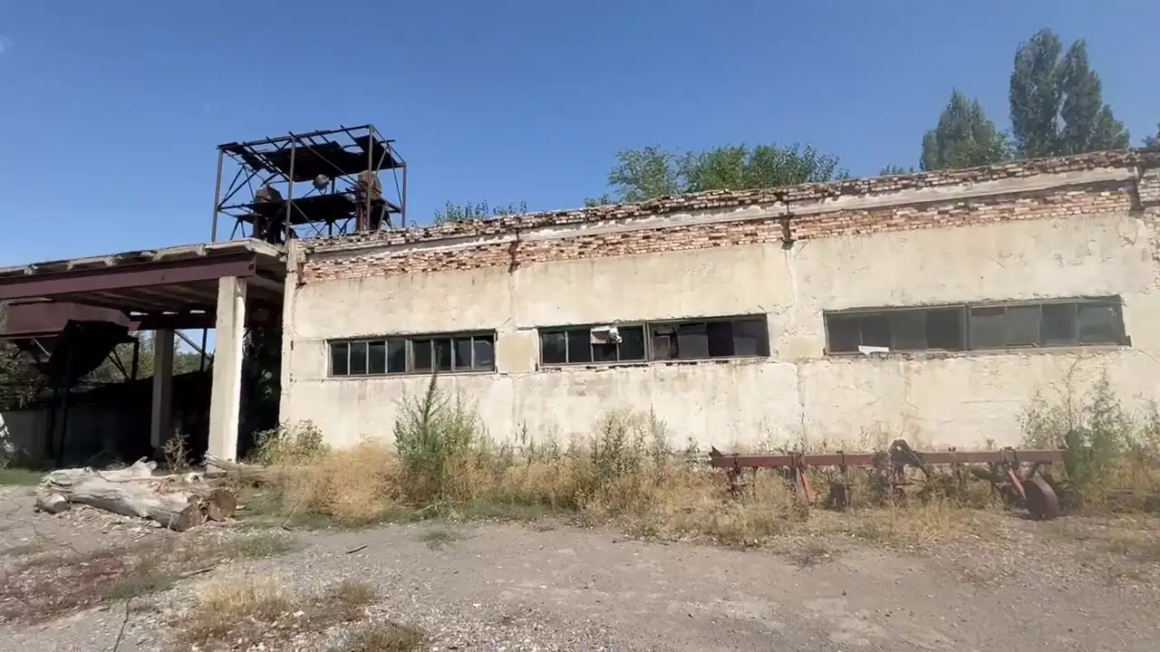
Recent footage records the land, water point, vegetation and existing structures. Buildings are shown as current condition, not as confirmed reusable assets.
Transaction
A wider structure involving the 22 ha land-use position can be discussed after legal review.
Purchase of cadastral parcel 03-044-081-361 — 8.38 ha in private ownership.
A legally structured arrangement around the 22 ha land-use rights may be considered after review of the agreement.
JV, long-term lease or build-to-suit remain open where economics justify them.
The 22 ha are not privately owned land and are not represented as part of a direct property sale. Any structure involving a foreign investor is subject to investor eligibility and project-specific legal review under Kazakhstan law.
Documentation
The public site shows readiness by category; legal and technical files are shared directly with qualified investors.
Investor process
The next step depends on the investor, intended use and preferred transaction structure—not on a generic sales script.
Share company, role, intended use, investment horizon and preferred contact channel.
After initial qualification, the available ownership, cadastral, water and historical utility files are sent directly; NDA can be used where appropriate.
Confirm investor eligibility, the 22 ha agreement, permitted use, utilities, water parameters and truck route.
Align the project brief, visit the site and move to a term sheet only after the material questions are answered.
No offer, title transfer or expansion right is implied until the relevant documents and transaction eligibility are verified.
Start investor reviewInvestor desk
Direct owner-side contact for acquisition, partnership or build-to-suit discussions.